Moama Beach
Client: Murray River Council
Status: Construction completed October 2018
Status: Construction completed October 2018
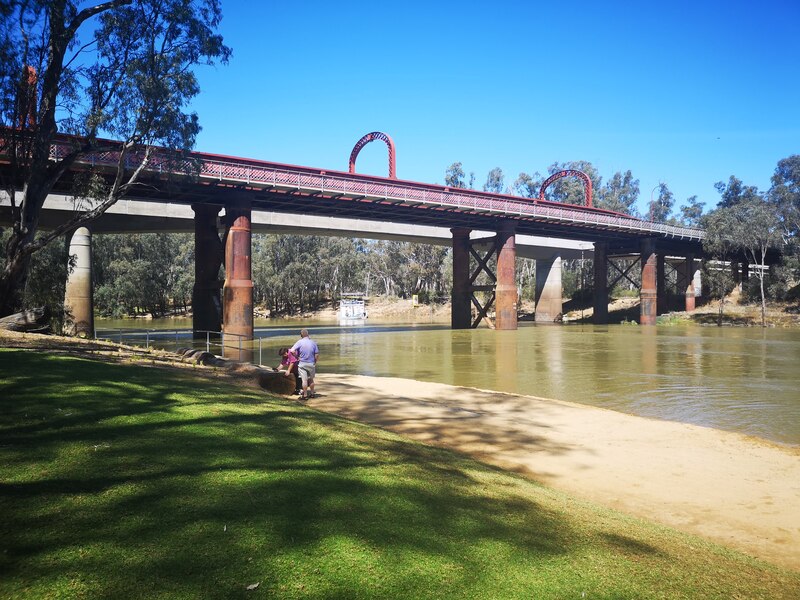
Moama’s only town beach access to the Murray River
This project worked with Murray River Council and the NSW Office of Environment & Heritage Requirements to improve the public access and presentation of the Moama Beach historic precinct.
Careful site design
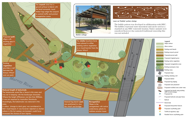
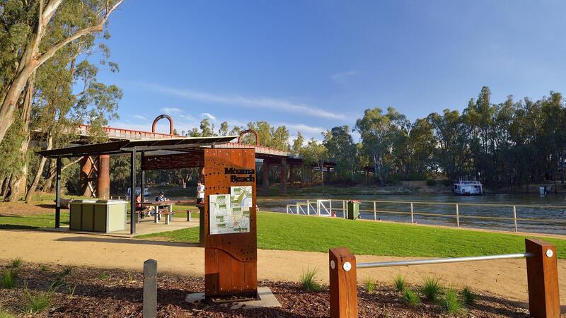
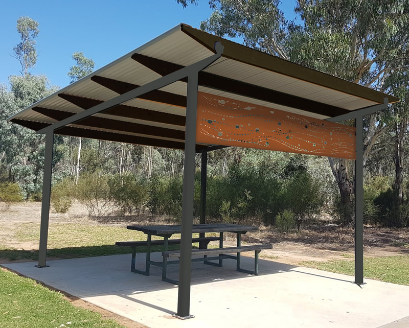
The project was broken into two parts. The first included detailed site design of the beach area to carefully blend public access and parking requirements with the natural environment and heritage features of the site. This included integrating the existing wall and canoe launch with a formalised car parking area, picnic shelters and seating. A weed management plan with revegetation was also part of the detailed documentation package we produced for construction.
Wayfinding and interpretation
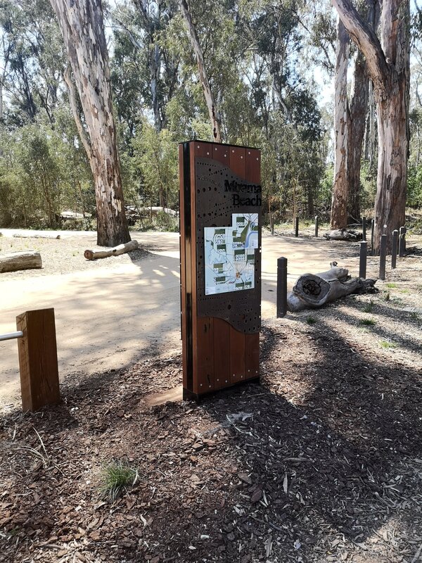
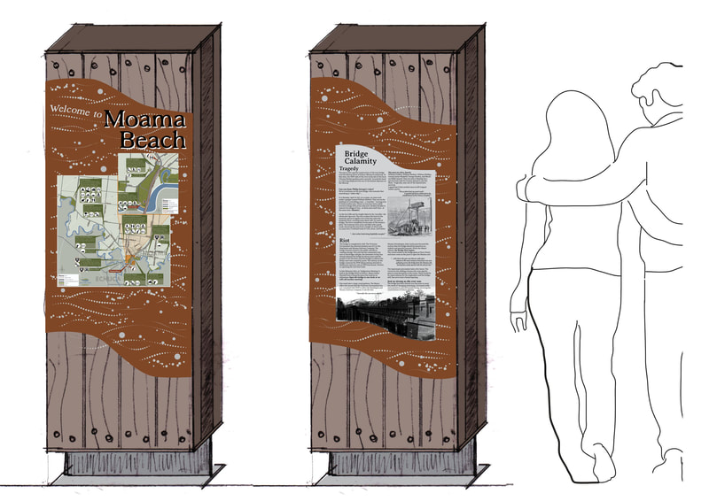
The second part of the project incorporated wayfinding and interpretive elements to create a welcoming environment. The design concept for the signage originated as a part of the Moama Murray River Access Plan completed in 2012 by LMLA. The concept was further developed to blend with the environment and consider materials, longevity and fabrication techniques.
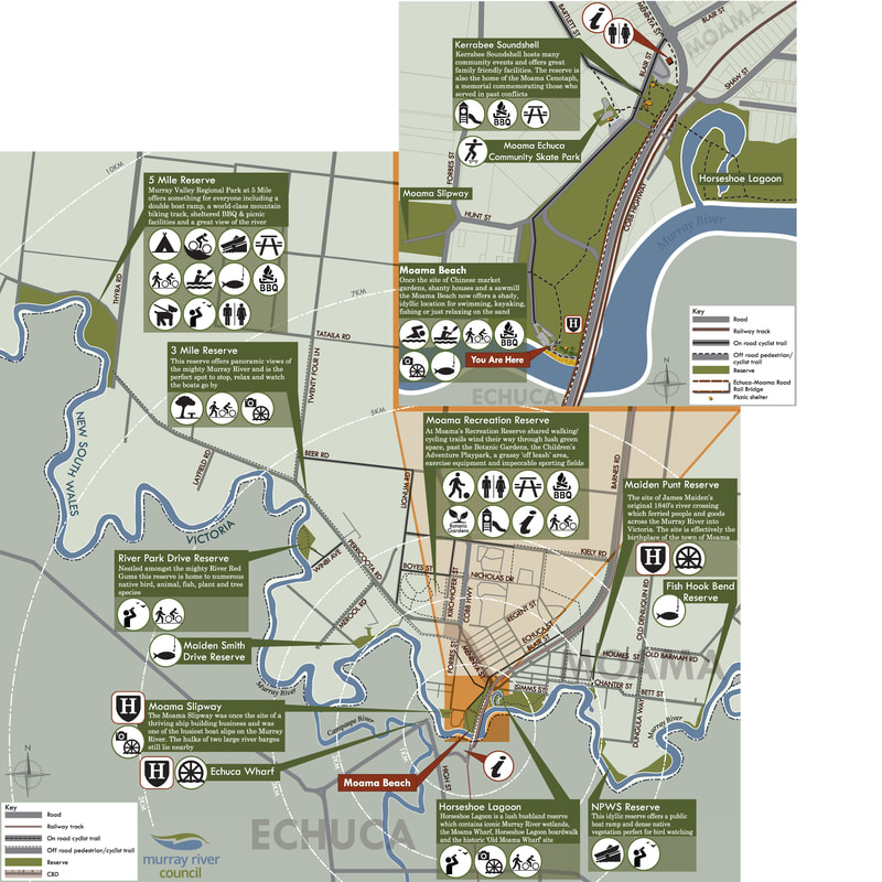
The signage concept was then developed into documentation drawings for fabrication. One side of the sign includes wayfinding highlighting river access points on the Moama side of the Murray River. It includes a zoom in map showing the beach area and path and facility connections. Our graphic design of the map carefully responds to the OEH requirements for a river environment while still providing clear, legible directions.
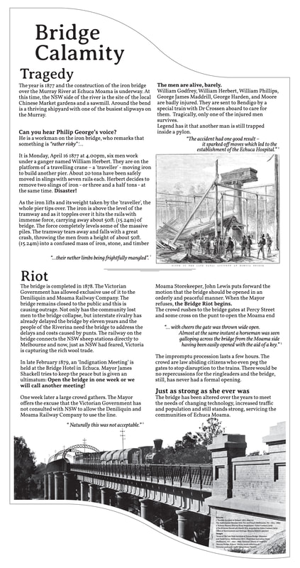
The reverse side of the sign incorporates some of the stories of the site including the Echuca-Moama bridge history. The research, curation and graphic design of the interpretive panel culminate in the story of the bridge tragedy during construction and unofficial opening/riot.
This project was completed by LMLA prior to merger with Thomson Hay Landscape Architects
